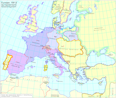
Europe in 1812 – The Napoleonic System of States
erstellt von
—
last modified
2020-05-25T11:26:26+02:00
Leibniz Institute for European History/ Andreas Kunz, CC BY-NC 4.0
Leibniz Institute for European History/ Andreas Kunz, CC BY-NC 4.0
Europe in 1812 – The Napoleonic System of States, map, 2004, edited by: Andreas Kunz, cartographer: Joachim Robert Moeschl; image source: Leibniz Institute of European History / Andreas Kunz, http://www.ieg-maps.uni-mainz.de/mapsp/mappEu812Serie2_Napo.htm, CC BY-NC 4.0, https://creativecommons.org/licenses/by-nc/4.0/deed.de.

