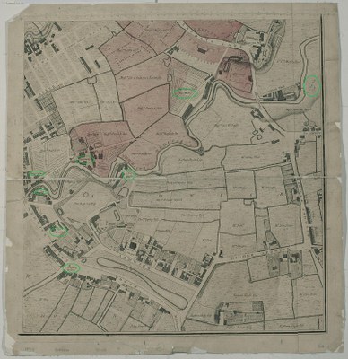
A Plan of Manchester and Salford in 1794
by
—
last modified
2023-11-27T12:54:31+01:00
Manchester Library and Information Service
Manchester Library and Information Service
J. Thornton, A plan of Manchester and Salford, drawn from an actual survey by William Green. c.1794: Ardwick Green to Higher Ardwick. Ancoats Lane, Ancoats Hall, River Medlock; copperplate engraving (with markings added by the copy editor), 1794; image source: Manchester Library and Information Service, Green MS map, https://www.digitalcollections.manchester.ac.uk/view/PR-R-15369/9.


 CC BY-NC 4.0 / Deed Attribution-NonCommercial 4.0 International,